.

.
English Version
.

Amis cyclistes, soyez les bienvenus
sur cette belle épreuve!
sur cette belle épreuve!
La Super Randonnée de Haute Provence est une randonnée permanente de 600 kilomètres, sur un parcours résolument montagnard. Elle comporte plus de 11.000 mètres de dénivelé positif.
Elle est organisée par l'Audax Club Parisien, sous l’égide de la Fédération Française de Cyclotourisme (FFCT).
You can choose to hike the Super Haute Provence Tourist , at 80 miles per day on average, or Hiker , within a maximum of 50 hours.
Departure and arrival are Carcass, pleasant village of Middle Var which will place you immediately on small roads in the heart of the matter. After the neck of the Bigue (Aups above), you make a complete tour of the Gorges du Verdon. Then you head for the necks of Espinouse Fontbelle and, in the Alpes de Haute Provence. You descend to Sisteron. Then you must climb the Mountain of Lure in his face sud, et passer les cols de Macuègne et de Fontaube pour gagner Malaucène. Avec environ 400 kilomètres au compteur, vous monterez au sommet du Mont Ventoux. Vous devrez encore vous hisser au col des Abeilles avant de pouvoir prendre le chemin du retour, qui ne sera pas exempt de côtes. La dénivellation totale dépasse les 11.000 mètres.
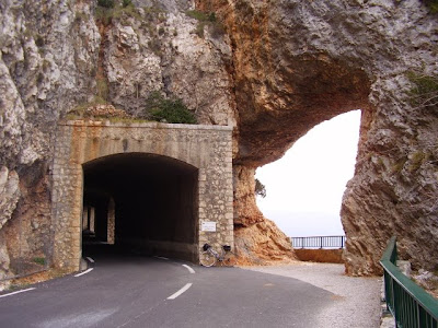
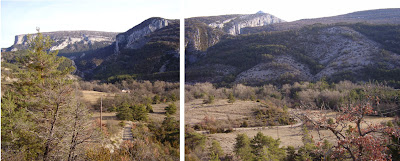
Des Gorges du Verdon au Géant de Provence, en passant par les cols retirés des Alpes de Haute Provence, la discrète Montagne de Lure et le Plateau de Valensole, les paysages sont grandioses.
Ceux qui choisiront l’option Randonneur auront le bonheur de découvrir la montagne à des heures privilégiées: aube, crépuscule, ou même nuit. All keep in memories.
The Super Trail is a demanding test, which requires a great workout, a good knowledge of the mountain and a habit of autonomy over long distances.
If the Super Trail is already commendable for tourists, it is a challenge for hikers. It is for those who like to challenge and go after themselves.
good trip at all!


